penny
property
penny
property
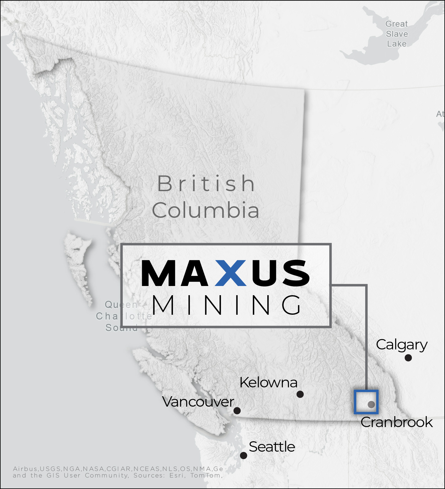
Project overview
-
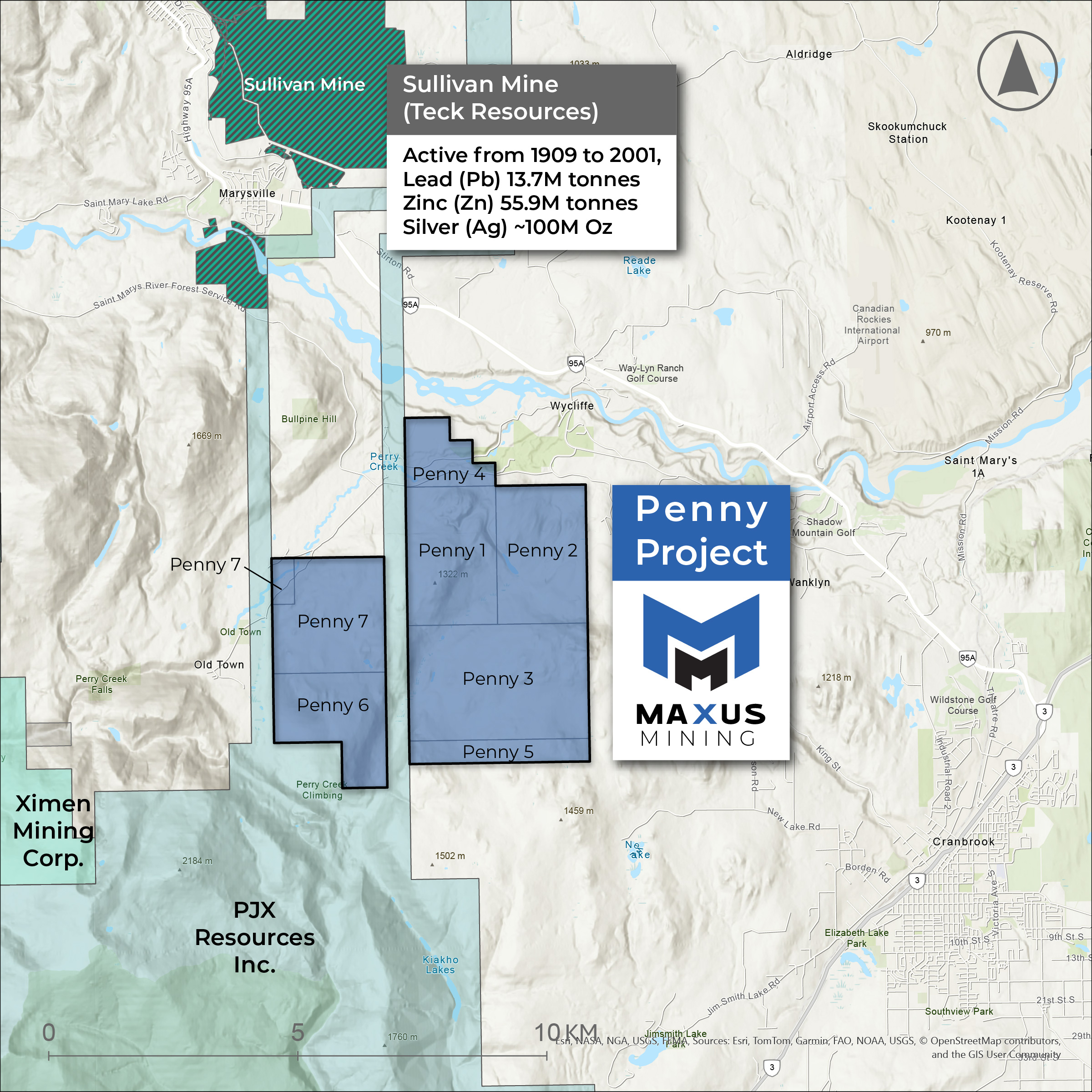
The Penny Property consists of eight non-surveyed non-contiguous mineral claims totaling 3,122 hectares located within the Fort Steel Mining Division of British Columbia.
-
The Penny Property is located nine kilometers southeast of the town of Kimberley and eight kilometers northwest of the town of Cranbrook, in British Columbia.
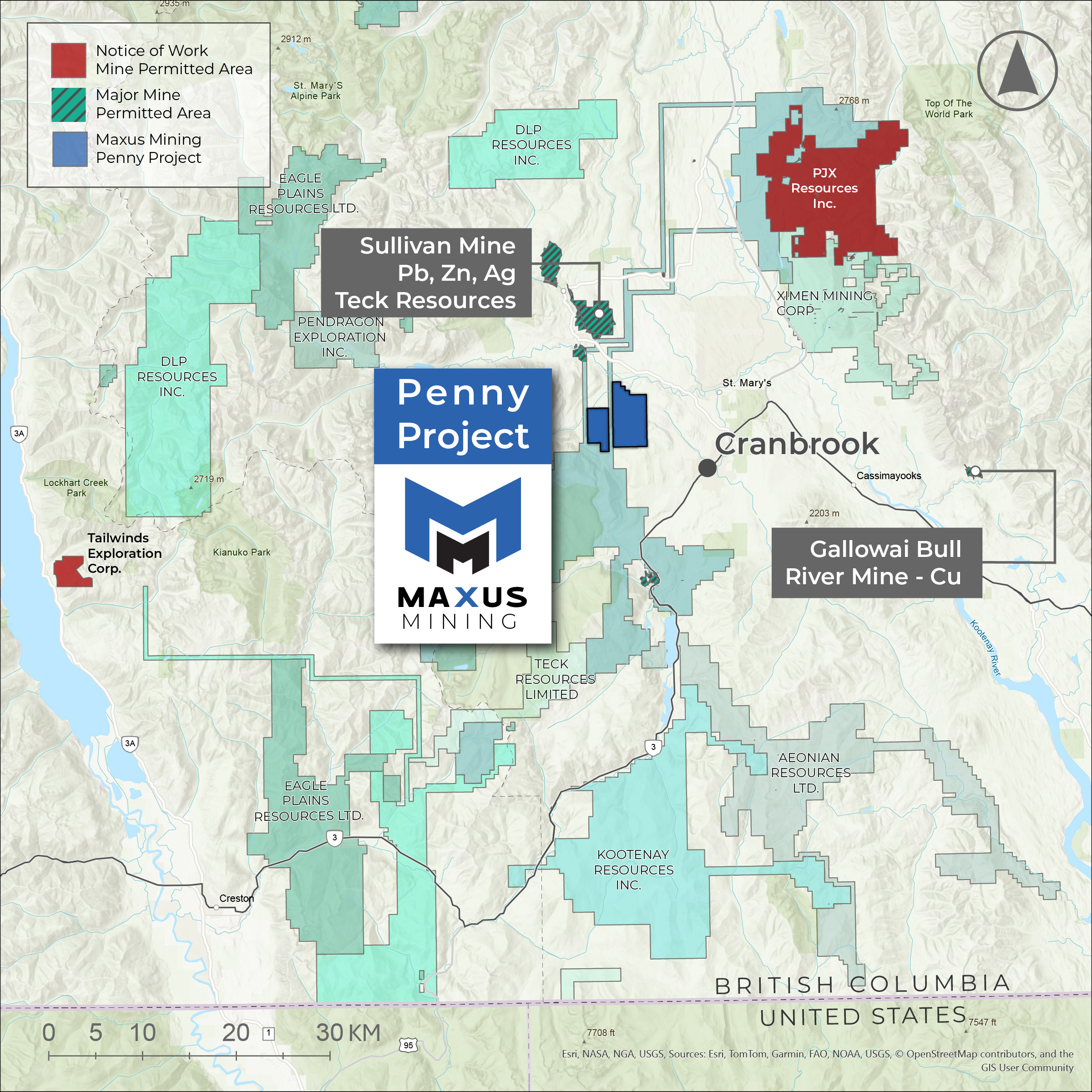
The location of the property, north of the major past producing Sullivan Mine at Kimberley BC, has stimulated individuals and junior and major exploration company activities in the past year.
- Kimberly and Cranbrook are the nearest major supply centers where material and services adequate to explore the road accessible property can be found.
- Infrastructure resources are excellent and readily available. The Property is within a few kilometers of the hydroelectric grid; and the region has a long history of mining.
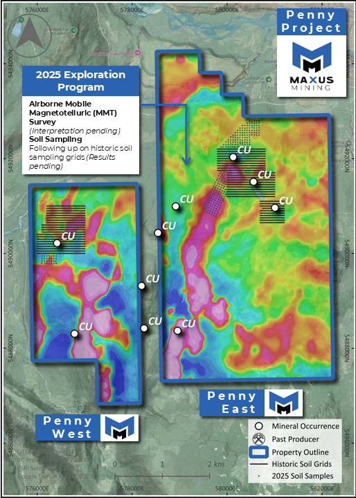
Critical Mineral Potential
3,123 Hectares of Copper Potential Proximal to Sullivan Lead-Zinc-Silver Mine. The area has seen exploration activity throughout the last 100+ years with recent work by the Company including rock sampling and geological mapping.
Multiple Copper Mineralization Styles :
Multiple mineralized samples were collected from the Upper and Middle Creston Formation sedimentary horizons. Interbedded and thin lenses of quartzite containing visible bornite, chalcopyrite, and malachite returned copper values up to 1046 ppm (0.10%) Cu (TK-17-149c), 1808 ppm (0.18%) Cu (TK17-28) and 2388 (0.24%) ppm Cu (TK17-12).12025 Mobile Magnetotellurics Survey Completed
Integrated geological & geophysical interpretation in progress to fast-track exploration targeting.2025 Prospecting Program :
The Company recently completed a soil sampling program over the most prospective target areas – outcrop samples up to 0.34% Cu consisting of mineralized and iron-oxidized quartzite.
Source 1: Strickland, D., 2024. NI43-101 Technical Report on the Penny Property, British Columbia
Source 2: Maxus Mining News Released December 9, 2025 – Link
PREVIOUS WORK
The area has seen exploration activity throughout the last 100+ years with recent work including rock sampling and minor geological mapping.
A total of 17 grab samples of iron oxide brecciation, quartz veinlets and fractures with limonite and/or copper as well as from sedimentary horizons with disseminated copper mineralization were collected as part of the prospecting program.
Multiple mineralized samples were collected from the Upper and Middle Creston Formation sedimentary horizons. Interbedded and thin lenses of quartzite containing visible bornite, chalcopyrite, and malachite returned copper values up to 1,046 ppm Cu (TK- 17-149c), 1,808 ppm Cu (TK17-28) and 2,388 ppm Cu (TK17-12).
PROPERTY GEOLOGY
The Kitchener formation consists of calcareous and dolomitic siltite and argillite, silty dolomite and limestone, green argillite, siltite, sandy dolomite, and minor quartzite.
Much of the green Kitchener argillite is vaguely reminiscent of the Devonian Ireton backreef shale of central Alberta. A poorly developed bioherm is in evidence to the west at La France Creek.
This stromatolitic dolomite is in the northeast flank of a late Proterozoic emergent land mass. Similar beds have been identified near Moyie Lake and east of the Rocky Mountain trench.
The reefoid nature of these rocks near the top of the unit suggests early stromatoporoid banks in the Precambrian and accounts for the high dolomite content of the formation.
REGIONAL GEOLOGY
The Property is contained within Mesoproterozoic siliciclastic rocks belonging to the Purcell Supergroup, (Figure 1) specifically the Kitchener and Creston formations.
-
They are intruded by Late Cretaceous epizonal dikes, sills and stocks, most notably the Estella Stock.
-
These quartz monzonite-granite-quartz syenite intrusions are compositionally variable; their megacrystic texture defined by potassic feldspar- and albite phenocrysts in a fine (often pyritic) groundmass denotes magmatic mixing (Höy, 1993).